Sensor
EchoOne
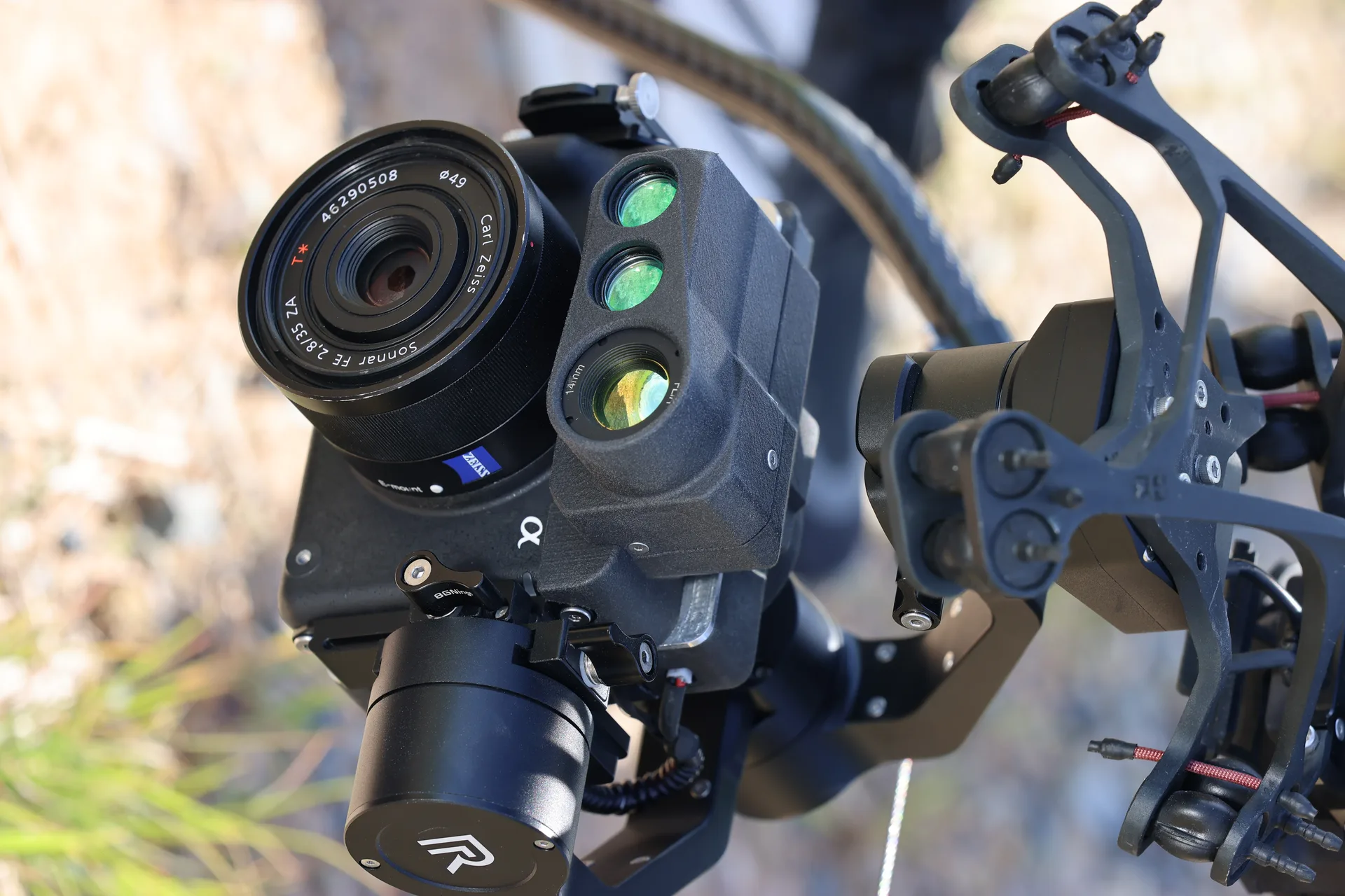
Topobathymetric LiDAR for coastal, riverine, and shallow water surveying. Captures above and below water surface in a single pass. Green-wavelength laser penetrates water to map submerged terrain with centimeter accuracy.
Bathymetric LiDAR for water surveys
Features
Key Capabilities
01
Dual-Wavelength LiDAR
Green 532nm laser penetrates water surface while NIR 1064nm maps dry terrain, capturing complete above-and-below-water topography in one pass.
02
Shallow Water Mapping
Maps submerged terrain, coral reefs, riverbeds, and coastal infrastructure up to 10 meters depth in clear water conditions.
03
Seamless Topo-Bathy Fusion
Automatically merges topographic and bathymetric point clouds into a single continuous surface model with no data gaps at the waterline.
Specifications
Technical Specifications
Laser
532nm green + 1064nm NIR
Water Penetration
Up to 10m (clear water)
Point Density
50 pts/m² topo, 25 pts/m² bathy
Accuracy
±2 cm vertical (topo), ±5 cm (bathy)
Scan Rate
500 kHz effective
Integration
Hera payload bay compatible
Ecosystem
Related Products
Talk to Sales
Connect with our solutions team for capability demonstrations and technical specifications.