Solution
Aerial Mapping & Photogrammetry
RTK/PPK aerial mapping with survey-grade accuracy
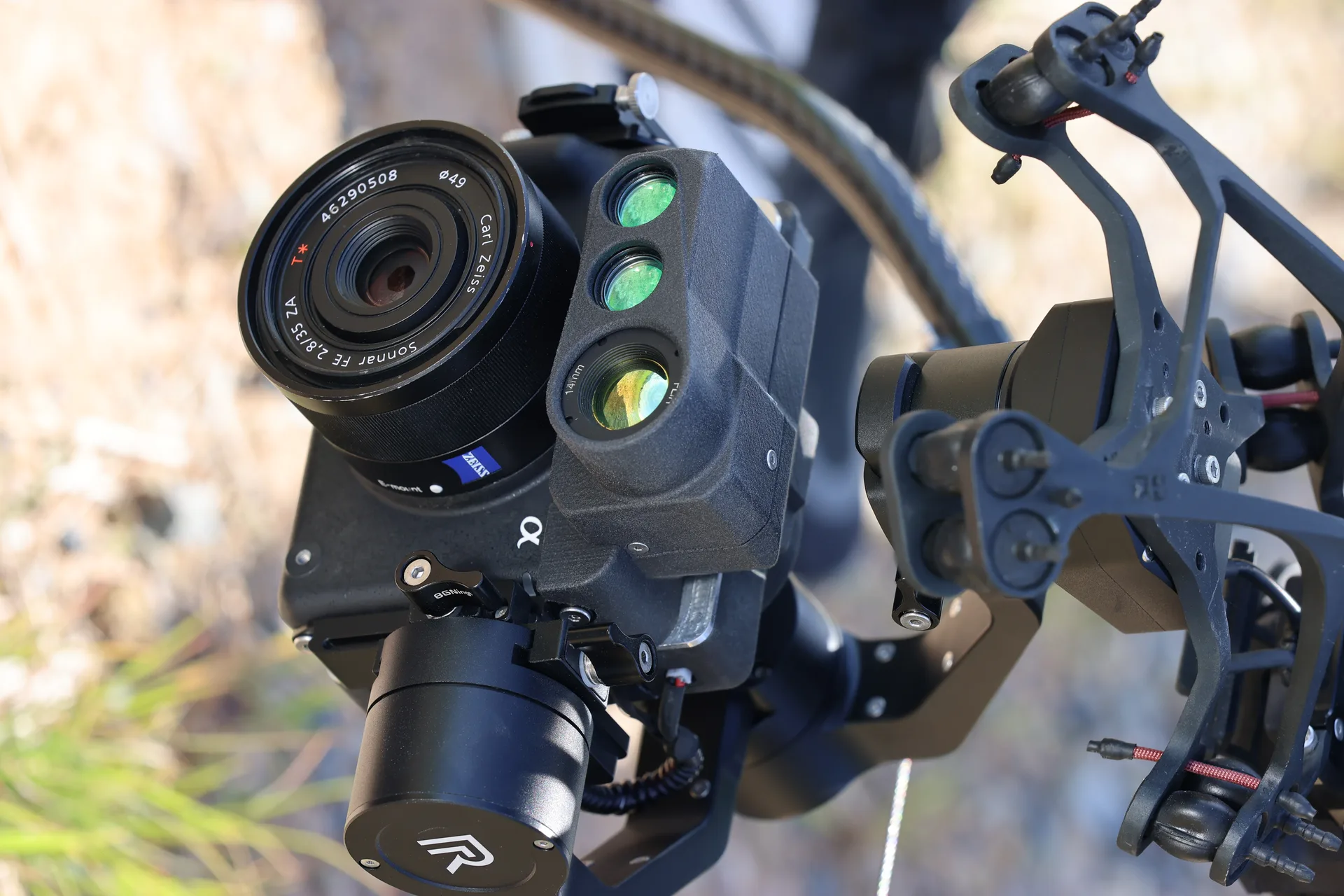
Hera delivers survey-grade aerial mapping with RTK/PPK GPS for sub-centimeter accuracy. Carry Phase One 150MP cameras or multispectral sensors to produce orthomosaics, DEMs, and NDVI maps. 56 minutes flight time covers large project sites efficiently.
Capabilities
RTK/PPK GPS for sub-centimeter accuracy
Phase One 150MP for survey-grade orthomosaics
Multispectral imaging for vegetation indices
Large area coverage: 56 min flight time
Automated grid and corridor flight planning
GIS-ready output formats
Products