Sensor
Resepi
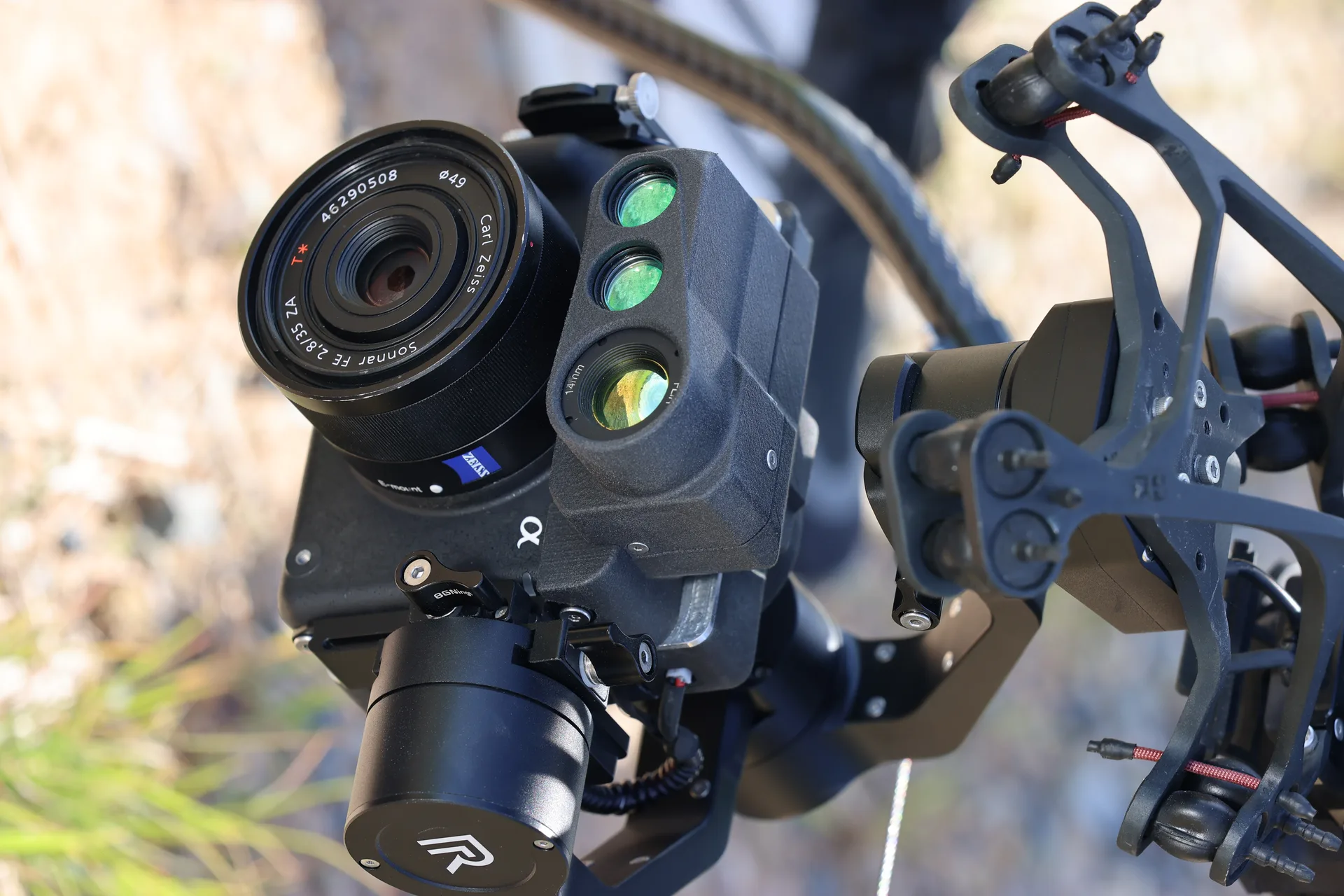
High-resolution multispectral sensor for precision mapping, vegetation analysis, and environmental monitoring. Captures calibrated multispectral data across visible and near-infrared bands for agriculture, forestry, and environmental science.
Multispectral mapping sensor
Features
Key Capabilities
01
5-Band Multispectral Imaging
Captures calibrated data across blue, green, red, red-edge, and near-infrared bands for comprehensive vegetation and terrain analysis.
02
Radiometric Calibration
Built-in downwelling light sensor and calibration panel ensure consistent, comparable data across flights and seasons.
03
High-Throughput Coverage
Paired with Hera's endurance, covers up to 200 hectares per flight for large-scale agricultural and environmental surveys.
Specifications
Technical Specifications
Bands
5 discrete spectral bands
Resolution
3.2 cm/pixel at 60m AGL
Calibration
Radiometric, auto-calibrated
Coverage
Up to 200 hectares per flight
Output
NDVI, NDRE, orthomosaic, reflectance maps
Integration
Hera payload bay compatible
Ecosystem
Related Products
Talk to Sales
Connect with our solutions team for capability demonstrations and technical specifications.